

26 – The Stone of Nia-Froich

On Gelligaer Common, about 60m to the north-east of a Roman Road formation, lies a post-Roman or Early Christian inscribed stone. As exposed it leans about 45deg. to the north and measures 2.5m long, its section 0.45m by 0.3m at base. It once bore an inscription near the base of its northern face that read NEFROIHI “the stone of Nía-Froích”, apparently commemorating an Irish warrior, whose name meant something like ‘champion of the heather’ and reminds us of the presence of Irish kingdoms in south Wales during the Dark Ages. The stone dates to the late sixth to early seventh centuries.
The stone was first noted by Edward Lhuyd in 1693, but the inscription is no longer visible.
The stone lies in a water-filled hollow measuring about 3m across at the east end of a horse-shoe shaped enclosure bank that projects away from the stone, possibly the remains of a Bronze Age burial
27 – Roman Road

The Roman road linked the forts at Gelligaer and Penydarren. At this point, the road is about 39 feet (12m) wide overall. It runs for over half a mile (almost 1km) from the Bedlinog road, climbing steadily until it peters out on the northern slopes of Pen Carnbugail.
By looking up the hill to the north, you will see the classic layout of a Roman road — a raised central section, called the ‘agger’ by archaeologists, flanked on either side by a ditch and an outlying bank. This is a section of the Roman road that originally ran all the way from Brecon to Cardiff, linking the forts at Penydarren, Gelligaer and Caerphilly on its way. Gelligaer fort lies some 4 miles (7km) to the south (ST 134971) and can be reached by following the modern road that runs along the ridge.
Both the road and the forts were constructed by Julius Frontinus, the governor of Britain responsible for the conquest of Wales, between ad 74 and ad 78. The fort at Gelligaer was rebuilt in stone between about ad 103 and ad 111 and would have housed about 500 Roman soldiers.
On campaign, the Roman army often had to build ‘marching camps’ — temporary forts to give secure bases in hostile territory. Alongside the road from Gelligaer Common to the fort lies a series of ‘practice camps’ — these are ‘mini-forts’ built by the soldiers of the Gelligaer garrison as training exercises to prepare themselves for the real thing.
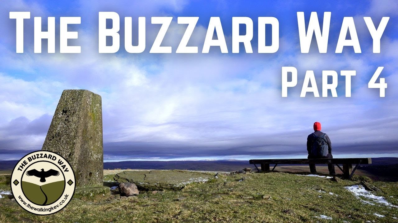
28 – Pen Garnbugail

At 477m Pen Garnbugail is the highest hill in the county of Merthyr Tydfil and is a hill with lots of history and panoramic views. Topped by a bronze age cairn, trig point and bench this is one of those spots on The Buzzard Way where you can sit and reflect on the walk so far and the Ridgeway running South that is to be walked next.
The views towards the Central Brecon Beacons are impressive and in winter a great place to photograph the often snow-capped peaks.
29 – Twyn y Fidffawydd

A 422m high point offering superb views over South Wales and also East, looking back over the route walked so far. It is worth the detour and takes you away from the temptation to walk alongside the road for the length of this section.
30 – Cefn Gelligaer

A 403m high point continuing to offer fantastic panoramic views as you head south. Smooth grass and a very wide track makes walking easy and avoids you having to walk too close to the road.
31 – Capel Gwladys

The site of Capel Gwaldys was discovered at the beginning of the last Century, when a decorated and inscribed stone slab was uncovered. This is incised with a ring cross and probably dates from around the 8th to the 9th Century. The remains of an enclosure wall were also found. It is said that the site was founded by Gwladys, the mother of St. Cadoc. If true, this would date the foundation of the site to the early 6th Century.
There is no evidence to suggest that any type of settlement grew up around Capel Gwladys, although this does not mean that it did not exist. The earliest post-Roman evidence of settlement in the area occurs to the northeast. Along the east of Cefn Gelligaer, a group of platform houses have been dated to around the 13th to 14th Century.
32 – Gelligaer Roman Fort

For over 40 years Gelligaer was a cornerstone of the Roman military network that controlled south-east Wales.
The fort at Gelligaer is sited on a ridge between the Taff and Rhymney valleys. It commands an extensive view of this upland region, which was heavily wooded in Roman times.
The fort, constructed in stone, is almost square and occupies an area of 1.4ha (3.5 acres), making it one of the smallest Roman forts in Wales.
The fort was defended by a wide outer ditch and an earth rampart faced on both sides by a stone wall. There were corner and interval towers and four double-arched gateways. The impressive headquarters building stood at the centre of the fort and next to it lay the residence of the unit’s commander.
A workshop with a yard and two granaries completed the central range of buildings. The men lived in six barrack blocks, one for each century of 80 men and their centurion. Other buildings within the fort were probably used for stores and a stable for the baggage animals belonging to the unit.
Outside the fort on the south-east side was a walled extension containing a bathhouse, where the soldiers could relax when off duty. Attached to the fort was the parade ground, used for drill, weapons training and religious festivals.
33 – St Catwgs Church

34 – Sultan the Pit Pony

At 200 metres from hoof to muzzle, a galloping pony frozen in time is an imposing monument to the industry which drove Britain through the industrial revolution and put Wales at the centre of world shipping and trade.
Sultan the Pit Pony sits on the site of the Penallta Colliery, which is now a country park. Its magnificent mane, hooves and slender body are shaped from the tons of waste coal shale rock that was left on the site when the colliery closed in 1991.
Designed by Welsh sculptor Mike Petts, it took three years to complete the earthworks between 1996 and 1999. Sultan was designed to serve a dual purpose. As well as a path for walkers trailing along Sultan’s spine, a seating area in its giant nostril and a bench in its ear, the imposing mass of the sculpture acts as a wind break to protect the Parc Penallta events area adjacent to it.
Giant hoof prints are scattered around the field above Sultan’s head. In rainy periods, these fill with water and become pools to attract wildlife to the park.
The name Sultan comes from one of the last pit ponies in Wales. When the sculptor of the Penallta pony designed the earthwork, the now-retired Sultan was still alive and a well-loved reminder of the lost coal industry. The sculpture was soon christened Sultan by people locally.
35 – The Observatory

A structure with a real sci-fi fell marks the highest point of Penallta Parc and offers wonderful views over some classic South Wales Valley scenes.
A wonderful spot to pause and take it all in.
36 – Penallta Rocks

Craggy outcrops like this are few and far between in South Wales, so this wonderful little spot is well worth The Buzzard Way finding a route to include it. Sit awhile on the multiple rock seats and take in a pleasant view.
37 – Mynydd Eglwysilan

A 355m hill topped by a fallen trigpoint and some small crags. A wonderful hill with great views in every direction and pleasant walking with easy tracks to follow.
38 – Cefn Eglwysilan

A 382m hill topped by a trigpoint with beautiful views South over the Bristol Channel.
39 – St Ilan’s Church

St Ilan, after whom the church is named, is one of the least-known of Welsh saints. According to one tradition he was a pre-Norman bishop of Llandaff, but this may be a story made up to explain the name. The Book of Llandaff (compiled in about 1100) calls the church Merthyr Ilan – not the place of his martyrdom but the place where his relics were kept.
The porch outer entrance is 13th or 14th century and the spacious nave probably has 13th century walling although the openings are all much later. The doorway and two windows are perhaps late 16th century and two south windows are dated 1759 and 1760. The west tower is of circa 1480-1520. The chancel was rebuilt in 1873.
40 – Mynydd Meio

A 322m hill topped by a trigpoint. The summit feels more remote than it should, given its relative proximity to Caerphilly and some smaller towns and villages. There is a certain windswept wildness that is appealing.
41 – Penrhos Cutting

The remains of railway structures sit alongside this woodland walk and cycle route. This was once an infamous hill for trains to negotiate – with it being a challenge to get up and to get safely down for heavy trains with industrial loads.
42 – Craig yr Allt

A wonderful 273m hill with beautiful views and some small crags around the summit. A really nice part of the walk as you rise back above the South Wales Valleys from the Taff Trail.
43 – Canadian Spitfire Pilot Memorial

Near this spot on the 7th November 1941 R. 63058 Sergeant Pilot Ivan Raymond Trafford, Royal Canadian Airforce, was killed when his spitfire aircraft crashed.
Gone but not forgotten, a native of Brunswick, Canada.
44 – Caerphilly Mountain

A wonderful and extremely popular 270m hill above Caerphilly. Wonderful views, especially with a dramatic sky. Easy access from Cardiff and a very popular burger restaurant nearby means it is one of the busiest hills in South Wales.
[…] The Buzzard Way | Part 4 […]